
Mansfield Street Directory by Address
A street directory search works best as a chain of keys, not a single name query. Preserve the exact address, the normalized address, the ZIP, the civil town, and any older road or house label. The goal is to move from a delivery point to a parcel, from a parcel to an owner field, and from that field to a dated instrument or project. If the question is who might be registered at a place, use the state voter route separately. If the question is who lived there decades ago, stop before treating a current tax field as history.
- Check the full delivery address with USPS ZIP Code Lookup, and save the result date.
- Search AxisGIS Mansfield by street or property address, then retain PID, ParcelNumber, CAMA, or GIS identifiers.
- Browse the map and adjacent parcels, comparing the physical situs address with the owner or mailing field.
- Use the Mansfield map index and RecordHub for deeds, map owners, book and page references, and prior grantors.
- Search permits by address or APN, then consult the voter, library, or historical route only for the question each source can answer.
This street directory workflow keeps a parcel, a recorded party, a permit contact, and a registered voter from being blended into one unsupported identity.
Mansfield Parcel Fields by Address
AxisGIS is the main street-level map tool named in Mansfield’s Assessor material. It accepts an owner name, street or property address, and parcel number or PID. The map can identify a parcel, sort results by owner, address, property ID, or best match, and expose assessment, sales, building, report, and export controls. The inspected public configuration showed a parcel current-to-date value through 2025, but each result still needs its own assessment date.
Use PropertyAddress for the mapped physical location and OwnerAddress for the owner or tax mailing field. Those values can differ. The portal may show PID, ParcelNumber, GIS full number, CAMA full number, OwnerName, assessment, sales history, land and building values, and building attributes. The map is public information, but its disclaimer says it is illustrative and not a boundary survey. A map point helps locate a parcel. It does not establish who occupies it.
| Search or result field | Street-directory use |
|---|---|
| Owner name | Locate the parcel record by a printed owner field. |
| Street or property address | Browse a street or compare a unit and house number. |
| PID / ParcelNumber | Carry a stable parcel key into a permit or deed search. |
| PropertyAddress | Identify the physical situs used by map and permit records. |
| OwnerAddress | Read a tax or mailing address without calling it occupancy. |
| Layers and identify | Compare parcels, roads, buildings, zoning, flood, districts, and nearby map features. |
The Assessor office remains the fallback when a card, report, or older assessment file is not visible online. Its listed phone is 860-429-3311 at the Audrey P. Beck Building. Ask about the exact assessment year or digitized file rather than requesting a broad private-person profile.
Mansfield ZIP and Street Labels
A whole-street search can fail when a researcher treats a postal label as a municipality. Mansfield Center and Storrs-Mansfield are postal and local labels inside the Town of Mansfield. UConn campus addresses can use 06269-xxxx, while the current post-office list emphasizes 06250 and 06268. Mansfield Depot and 06251 are historical clues, not a current regular postal assignment unless USPS confirms the exact address.
Save four separate fields: civil town, postal city, ZIP or ZIP+4, and property situs. USPS controls delivery assignment. AxisGIS controls the parcel view. The deed controls the legal description. A permit may use an address or APN that does not carry a ZIP field. When the street directory reaches a campus, rural road, or old farm name, keep both the modern postal result and the historical label.
Practical check. Run the full address through USPS before deciding that a Storrs or Mansfield Center result belongs outside the Mansfield street directory.
Mansfield Records Along a Street
Several address-keyed systems can describe a Mansfield street, but each answers a different question. The Assessor and AxisGIS show a dated property snapshot. The Town Clerk’s index shows instruments, maps, map owners, and trade-name filings. OnlineGovt shows a project or permit case. The voter system has registration fields controlled by Connecticut law. Historical sources may connect a road, farm, church, house title, or former family to a place.
| Record set | Keeper | What it can show | Access route |
|---|---|---|---|
| Parcel and assessment | Mansfield Assessor / AxisGIS | Owner, mailing field, PID, map, sales and assessment data | Public map; Assessor office fallback |
| Deeds and maps | Mansfield Town Clerk | Grantor, grantee, map owner, book/page, filed date and description | RecordHub, Online Index Books, PDFs, counter |
| Permit cases | Building, Planning, Fire | Address, APN, project, applicant/contact, status and dates | OnlineGovt case status or request |
| Voter records | SOTS / Mansfield Registrar | Permitted registration, district, status and participation fields | State lookup or lawful file route |
| Historical place records | Library, Society, UConn | Former names, houses, organizations, maps, photos and manuscripts | Library card, catalog, appointment or reference request |
The street name links the systems conceptually, but the parcel ID, book/page, APN, docket, or collection call number links them in a defensible research note. A name match alone does not.
The Mansfield land-record page explains the public index and older book routes used after a parcel is identified.
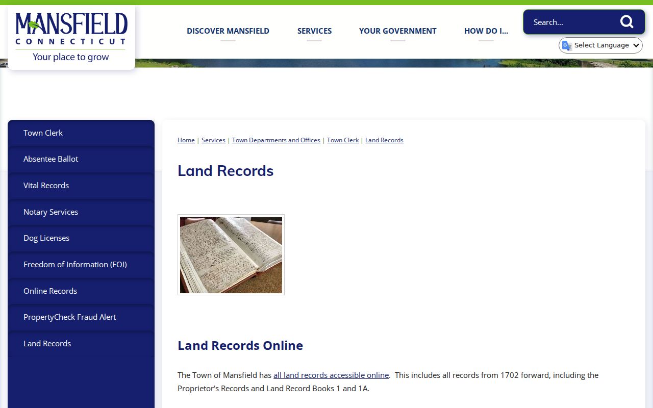
The street directory should cite the book, page, map, or index date rather than imply that a live deed image is always open.
Mansfield Street Permits by APN
Mansfield’s OnlineGovt case-status portal adds an address history layer. Building and zoning searches expose address, APN number, owner name, permit number, and permit-date controls, with CAPTCHA and export or download controls. Results can include a description of work, issued date, fee total, status, project name, contacts, estimated cost, owner or owner address, and a case ID. The current indexed date range was not located, so every search should preserve the capture date.
Search by APN or address first, then compare the owner or contact name with AxisGIS and a deed. A permit applicant can be a contractor, architect, trustee, manager, or other project contact. It is not automatically the title holder or a household member. The portal supports several project choices in its application workflow, but no claim should be made about older cases that are not exposed in the public index.
The Mansfield permit portal is the source for its current case fields and search controls.
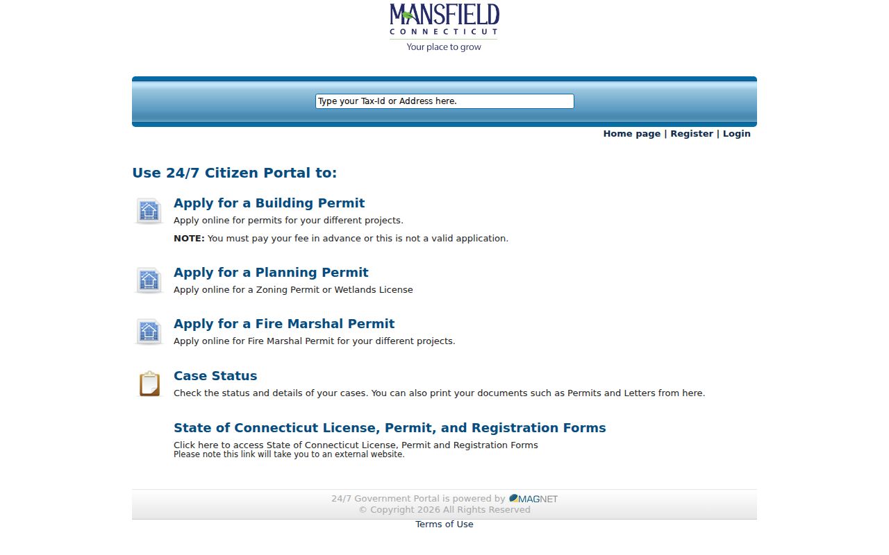
The capture is a reminder to keep permit research and deed research separate even when both are keyed to the same street address.
Mansfield Street Deeds and Map Indexes
Land records begin in 1702. RecordHub covers volume 122 from May 19, 1973 forward, while historic Online Index Books and older PDFs reach earlier volumes. The Town’s instructions identify PR1, RB1, and RB1A for a book-page route. Search the grantor, the grantee, a second name, and spelling variants. Expanded RecordHub search can use a last name, an optional first name, index or document type, date range, begins-with or contains behavior, and AND or OR logic for a second name. Vendor controls can change, so confirm the live options.
The street-name map index has a continuous section from January 1, 1927 through December 31, 2024. It records street name, map title, book, page, filed date, and description. A map may concern a subdivision, right-of-way, proposed road, utility, town property, or floor plan. The complementary map-owner PDF can reveal a historic name or developer. Neither map product replaces the deed legal description.
For a current parcel, start with the assessor sales row or PID, follow the volume and page, read the legal description, then work backward through prior grantors. Log instrument date, recording date, party role, book and page, source URL, image status, and uncertainty. A street directory earns trust when the chain is explicit.
The Mansfield RecordHub deed search is the current vendor route for the online index and image controls.
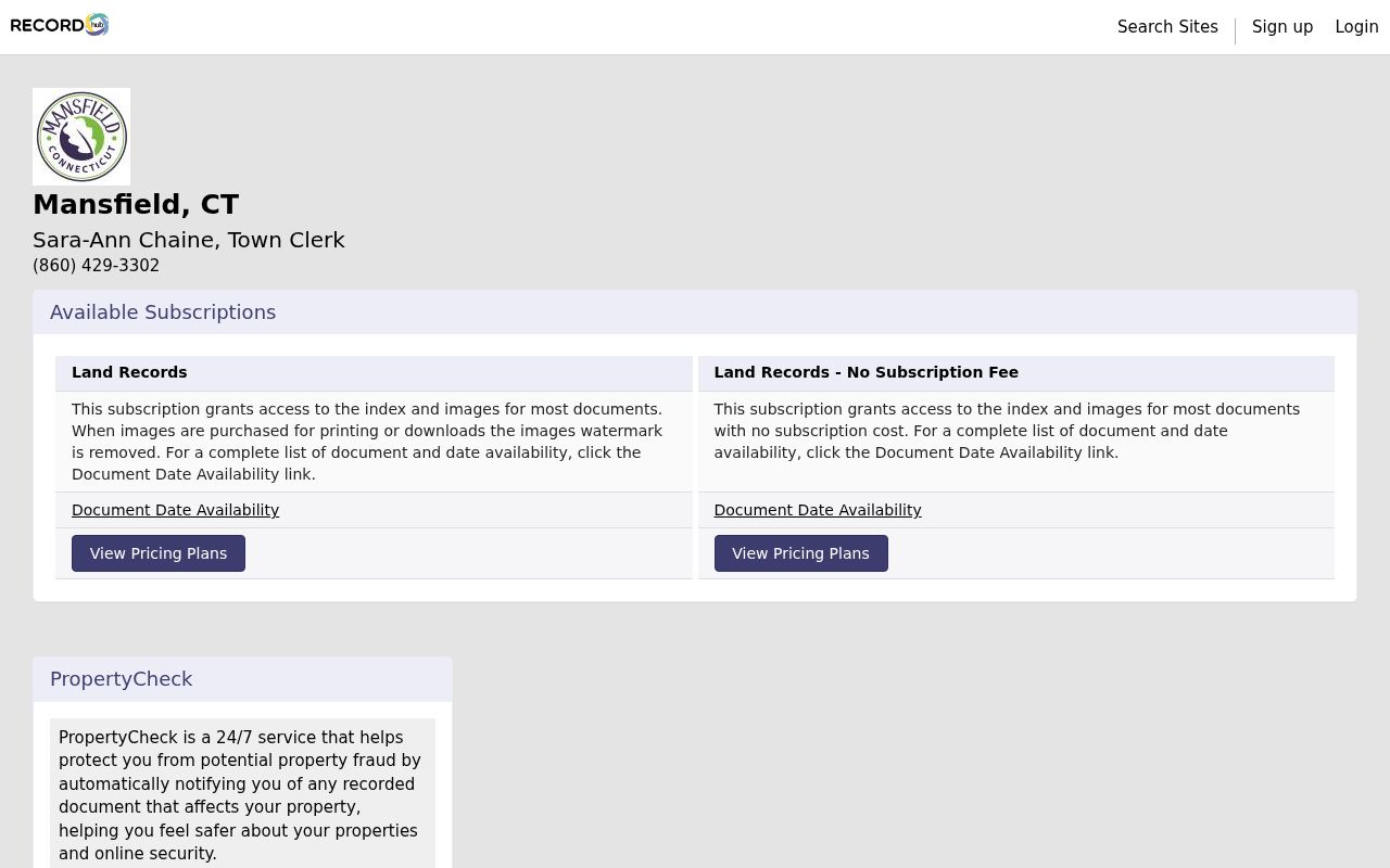
Separate an index hit from image access, because an account or payment may be needed for some document actions.
The Town’s PropertyCheck alert information describes a free notice service for future matching recorded activity.
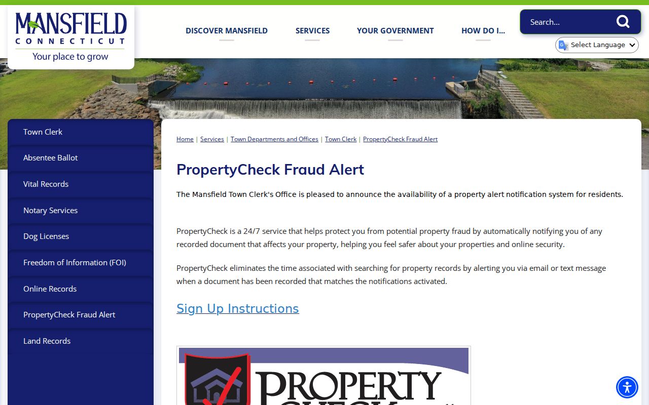
An alert is a notification layer, not proof of a transfer. Verify a book and page through the Town Clerk or RecordHub before relying on any message.
Mansfield Street Historic House Leads
The Mansfield Library historic-structures material lists named places along Storrs Road, Centre Street, Dodd Road, Browns Road, and Chaffeeville Road. Examples include Old Uncle Hall Place, Dodd, Williams, Aspinwall, Armstrong, Adams, Rouse, Rand White, Old Parsonage, Fitch Mansion, Church, Sheldon, and Weeks Store. The listed numbers and dates are historical structure leads. They are not current ownership or occupancy records.
Pair a historic house title with the Historical Society’s Old Houses Documentation Files, Town map indexes, a parcel number, and a deed legal description. The Society’s non-circulating Edith Mason Library holds maps, photos, manuscripts, diaries, account books, and house files. A focused request can ask for a street, house title, family, date range, or map reference. The library and UConn collections can add church, school, farm, and organization context.
When a historical address does not match a modern number, preserve the old spelling and road name. The research did not verify a Mansfield street-renumbering or street-renaming project with a year. Bridge continuity with a map book and page, parcel or PID, legal description, nearby road, historic house title, and source date instead of inventing a conversion.
Mansfield Reverse Street Directory Gap
A reverse or criss-cross directory starts with an address and points to an occupant or household. Mansfield’s official sources confirm library and genealogy resources, but they do not verify a complete local reverse-directory title, publisher, or year run. Ask the Mansfield Library, Connecticut State Library, or Historical Society for “address-to-occupant,” “reverse directory,” “criss-cross,” telephone-book, or city-directory holdings.
If a volume is found, record the exact title page, publisher, year, street heading, entry, page, abbreviation key, owner or occupancy mark if printed, and coverage boundary. Pair the entry with a deed, map, or census year. Do not infer every household member from one line. The historical shelf is covered in more detail in the Mansfield city directory collections page.
Library question to ask. Give the reference desk a street name, former number, cross street, postal label, and date range. “Mansfield directory” alone may return a lead without a verified image.
Mansfield Street Owner Roles
The central street-directory trap is treating every name attached to an address as the same kind of person. An assessor owner field is a dated tax record. A deed party has a legal role in an instrument. A permit contact belongs to a project. A voter record reflects registration under state rules. A historical directory line reflects a publication date. A mailing address can be outside Mansfield, and a situs address can have no public household list.
- Parcel
- Mapped land with a PID or related key, not a list of everyone who uses it.
- Situs address
- The physical location used by map, assessment, and permit systems.
- Mailing address
- The address used for owner or tax correspondence, which can differ from the situs.
- Plat or map
- A filed drawing or map reference that may show lots, roads, rights-of-way, or subdivisions.
- Criss-cross directory
- An address-to-name historical source, if a verified local volume exists.
Keep those roles in separate columns in a research note. If the same name appears in two sources, compare the date, parcel, role, and source purpose before calling it a match.
Limits of a Mansfield Street Directory
A Mansfield street directory cannot show every person at an address. The public sources inspected did not locate a complete occupant register, utility customer list, current telephone run, public cemetery-name index, or verified local criss-cross run. DMV address data is restricted under the federal Driver’s Privacy Protection Act and C.G.S. §14-10. Voter privacy, ACP, and C.G.S. §1-217 can suppress addresses. A protected or absent field should never be rebuilt from an adjacent parcel.
Lawful use. Use address and street records for personal, lawful research, family history, civic understanding, reconnecting, or safety planning. Do not use them to stalk, harass, intimidate, or aggregate a private person’s location.
If a needed record is not online, send a focused written request to the Town Clerk with the record type, date range, address or parcel key, custodian, and preferred format. Mansfield’s FOI process says requests are acknowledged within four business days, subject to exemptions and copy costs. For a street-level question, a narrow request to the actual office is more useful than a broad request sent to a nonexistent county recorder.